Photogrammetry is a cutting-edge technique for surveying and documenting business environments. By capturing high-resolution images from multiple angles, we create detailed and accurate 3D models and maps. Our process involves precise camera calibration, image processing, and data integration to produce reliable results. This method is ideal for visual documentation, spatial analysis, and generating detailed plans of business premises, enhancing your ability to make informed decisions and optimize space utilization.
1. Objective of the Survey
Clearly define the purpose of the photogrammetry survey, whether for architectural documentation, marketing, renovation planning, or inventory management. This clarity ensures that the survey meets specific project needs, delivering targeted data and insights tailored to your objectives.
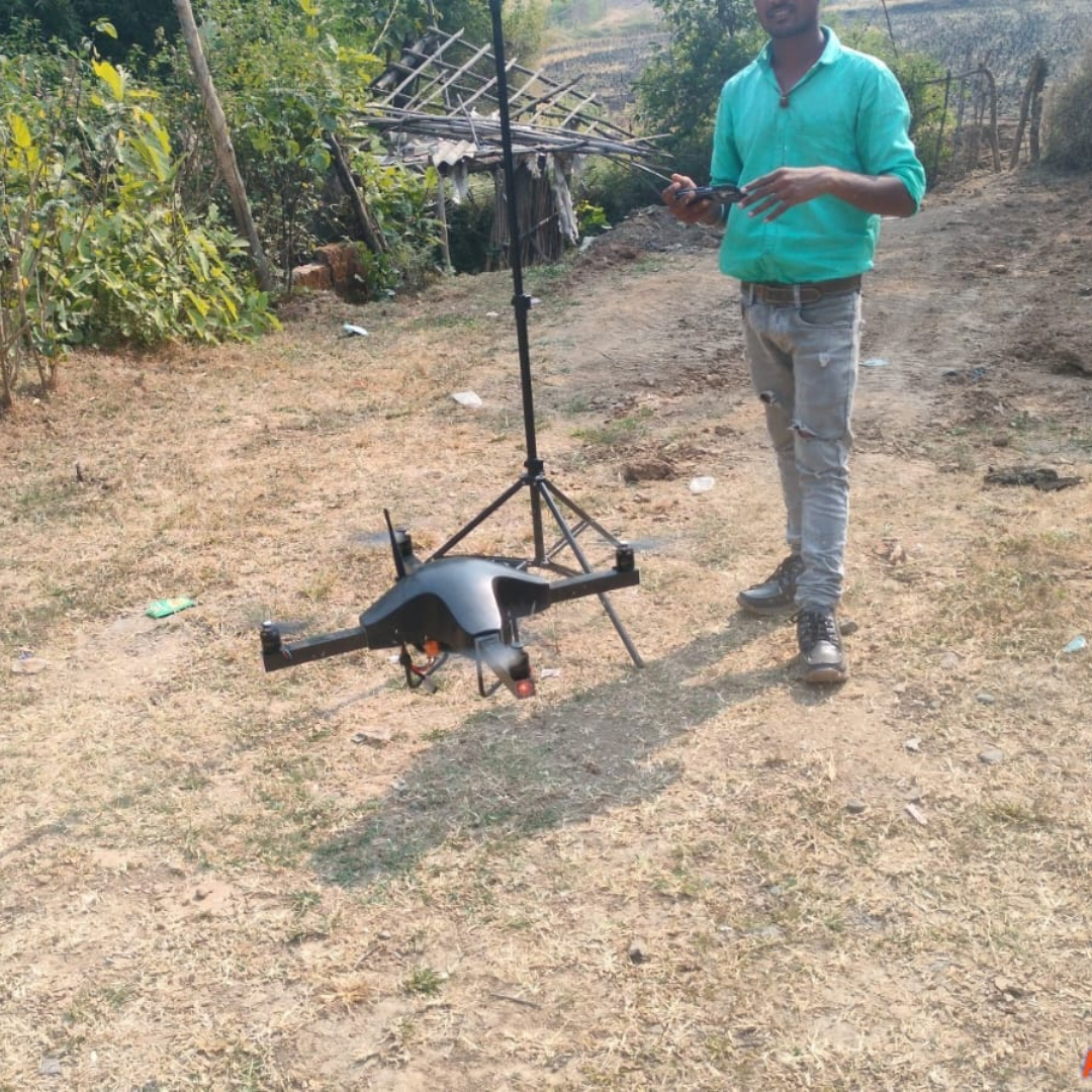
2. Equipment
Utilize high-resolution cameras or drones equipped with cameras to capture detailed imagery. For ground-based photography, employ tripods and stabilizers to ensure stability and sharpness. Integrate GPS technology to accurately tag locations, enhancing the precision and reliability of the survey data.
3. Planning the Survey
Develop a comprehensive plan for the survey area, outlining the scope and specific locations to be covered. Schedule image capture during optimal times to minimize shadows and ensure consistent lighting. Identify and prioritize key features and areas of interest to focus on, ensuring that all critical aspects are accurately documented.
4. Image Capture
Capture overlapping photos from multiple angles to enable a thorough 3D reconstruction. Vary the heights and distances of your shots to cover the entire area comprehensively. Maintain consistent lighting and exposure settings throughout the process to ensure uniformity and clarity in the images, enhancing the accuracy of the final 3D model.
5. Data Processing
Utilize advanced photogrammetry software such as Agisoft Metashape or Pix4D to process the captured images and create detailed 3D models. Align the images, generate point clouds, and create textured meshes for a comprehensive representation. Conduct thorough quality checks throughout the process to verify accuracy and ensure that the final 3D model meets high standards of precision and detail.
6. Output and Deliverables
Produce 2D orthophotos and 3D models from the processed data. Create detailed maps and floor plans that accurately represent the surveyed area. Additionally, generate visualizations and animations as needed to enhance understanding and presentation of the data, providing a comprehensive and engaging overview of the surveyed environment.
7. Analysis and Reporting
Analyze the 3D models to obtain precise measurements, volume calculations, and other relevant metrics. Compile a comprehensive report that includes detailed findings, visual aids, and actionable recommendations. This thorough documentation ensures clear communication of the survey results and supports informed decision-making.
8. Applications
Leverage the data for various purposes, including facility management, marketing materials, and virtual tours. Integrate the photogrammetry data with other data sources to enhance analysis and provide a more comprehensive understanding of the environment. This versatile approach supports a range of applications and maximizes the value of the survey data.
By focusing on these areas, you can ensure that your photogrammetry survey of a business is thorough, accurate, and useful for various applications.